
Vyacheslav BOHDANETS, a professor of the faculty of land management, has completed a week-long internship at BOKU University
International cooperation has long been an integral part of the development of modern university education. It provides access to cutting-edge scientific approaches, the latest technologies and partnerships that determine the future of Geodesy, cartography and Geoinformation Sciences. For the faculty of land management of NUBiP of Ukraine, such cooperation is not only an opportunity to adopt the European experience, but also to integrate Ukrainian science into the international research space.
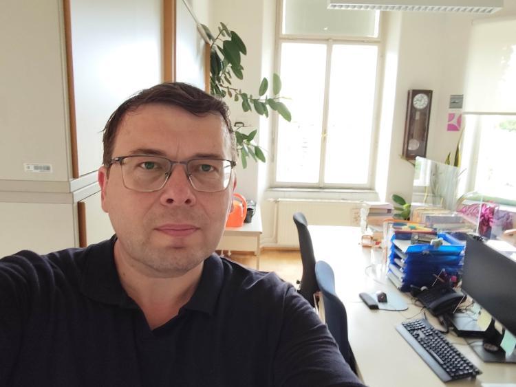
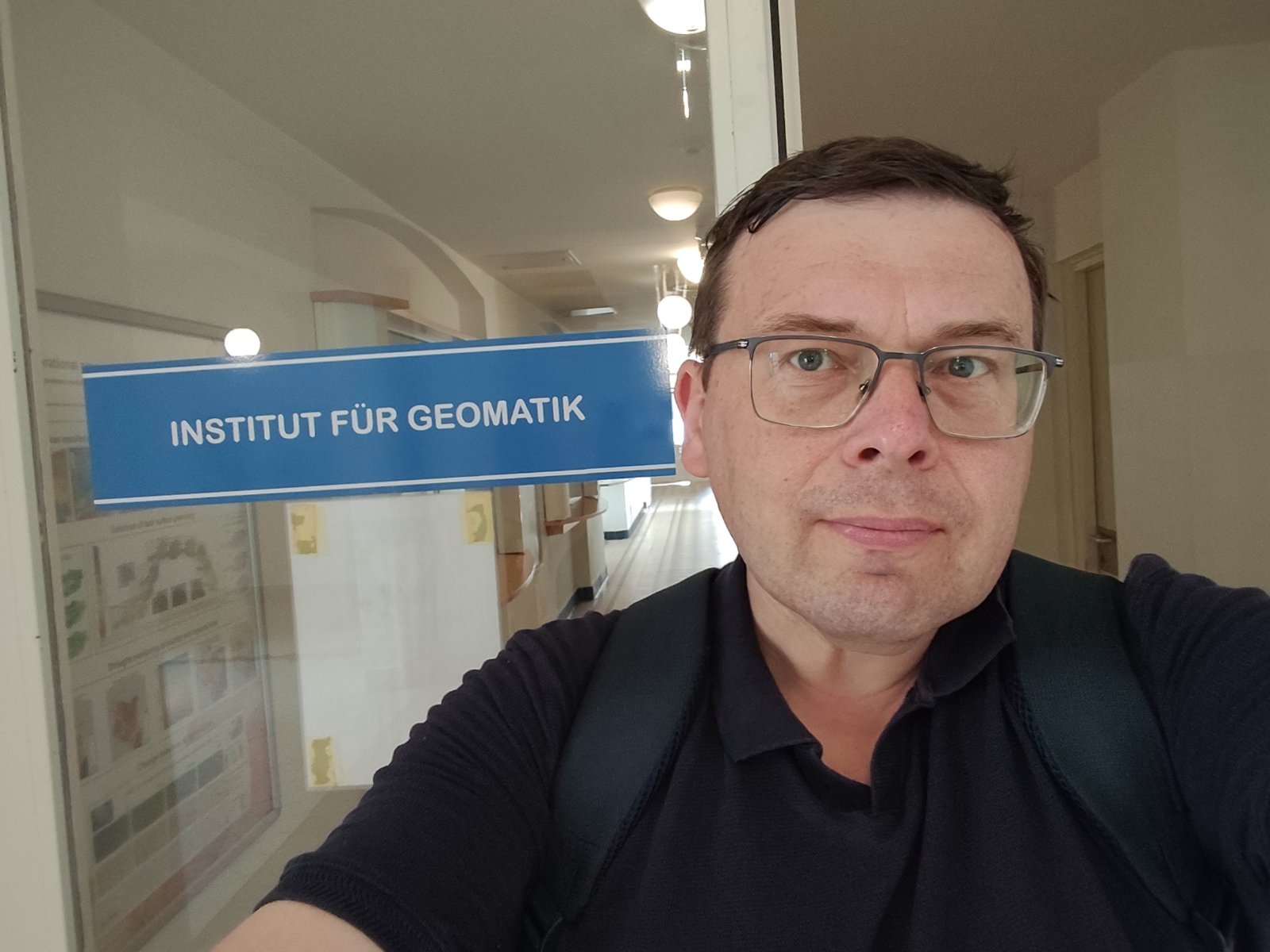
During July 6-10, 2026, deputy dean for international work of the faculty of land management, Associate Professor of the department of geodesy and cartography Vyacheslav BOHDANETS completed a scientific internship at one of the most reputable universities in Europe — University of Natural Resources and Life Sciences (BOKU, Vienna, Austria). The visit took place as part of the program ERASMUS+ Staff Training and has become an important step in the development of international cooperation of the faculty with the BOKU Institute of geomatics.
The internship program was rich and covered a wide range of modern areas of geospatial technology development. The focus was on remote sensing of the Earth, geoinformation mapping, the use of geospatial artificial intelligence, digital environmental monitoring, assessment of the impact of military operations on natural ecosystems, as well as the role of geomatics in ensuring sustainable land use and Rural Development. Special attention was paid to the introduction of these technologies in the educational process and modern educational programs.
During the internship Vyacheslav BOHDANETS held a number of working meetings, scientific seminars and discussions with leading scientists of the Institute of geomatics. The Austrian colleagues presented their own research in the field of satellite monitoring, machine learning, analysis of large amounts of geospatial data and digital modeling of natural processes. Such meetings have become a platform for discussing common research interests, future international projects and grant initiatives.
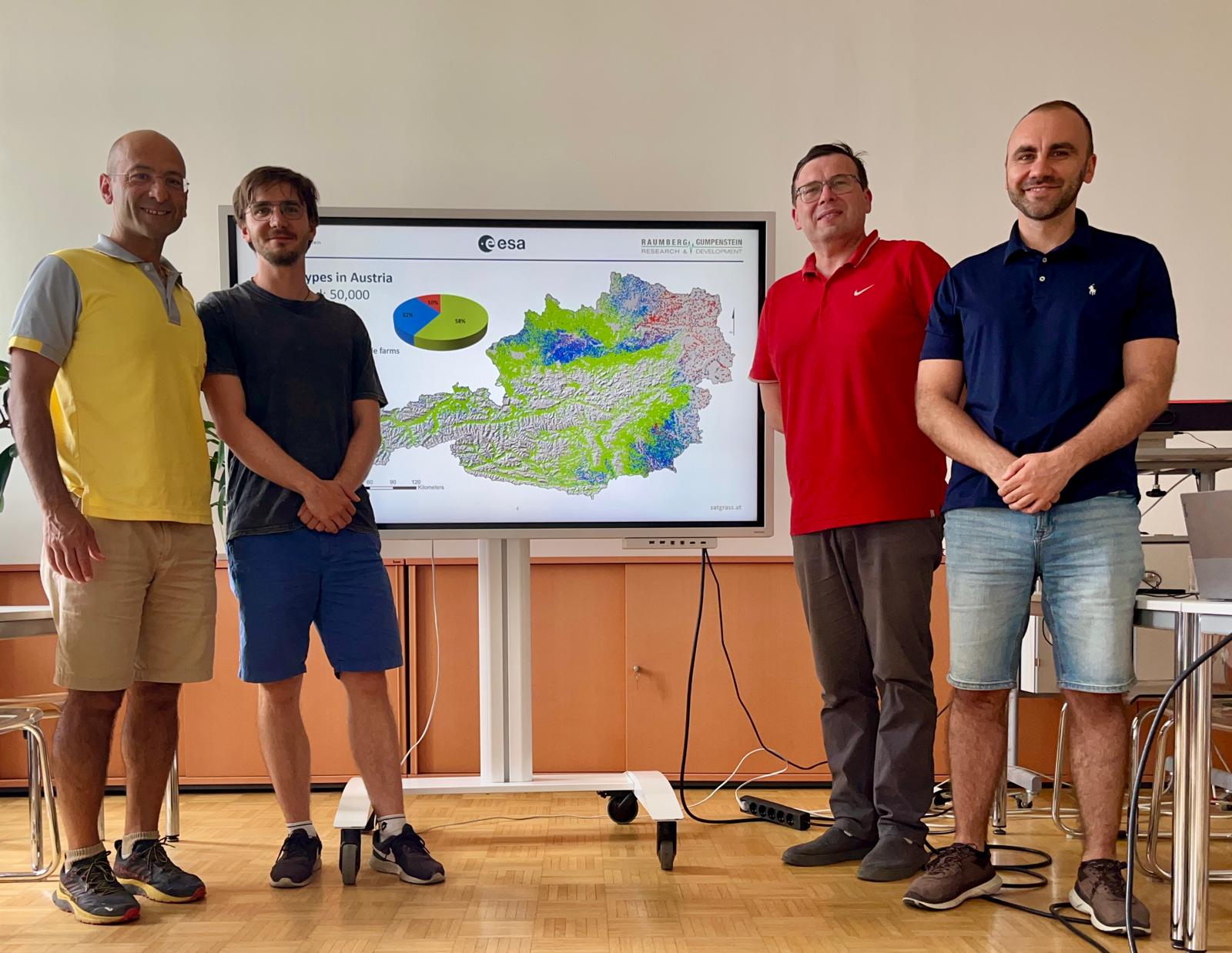
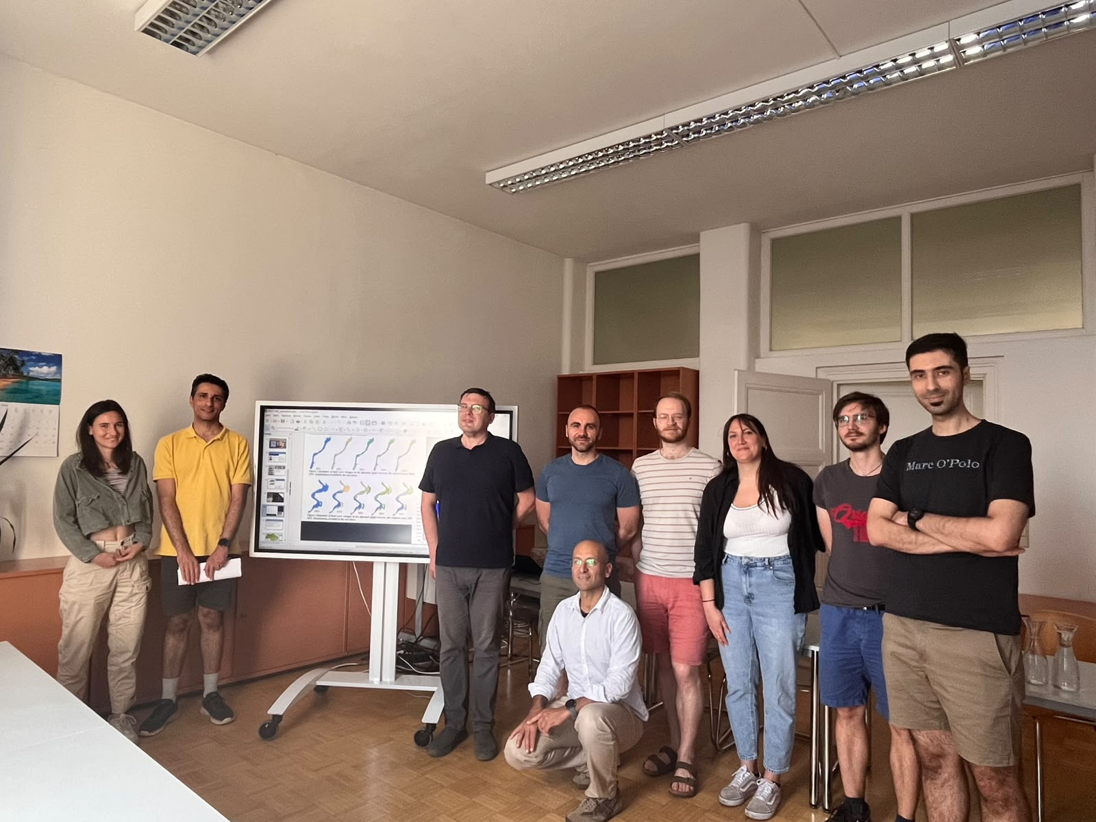
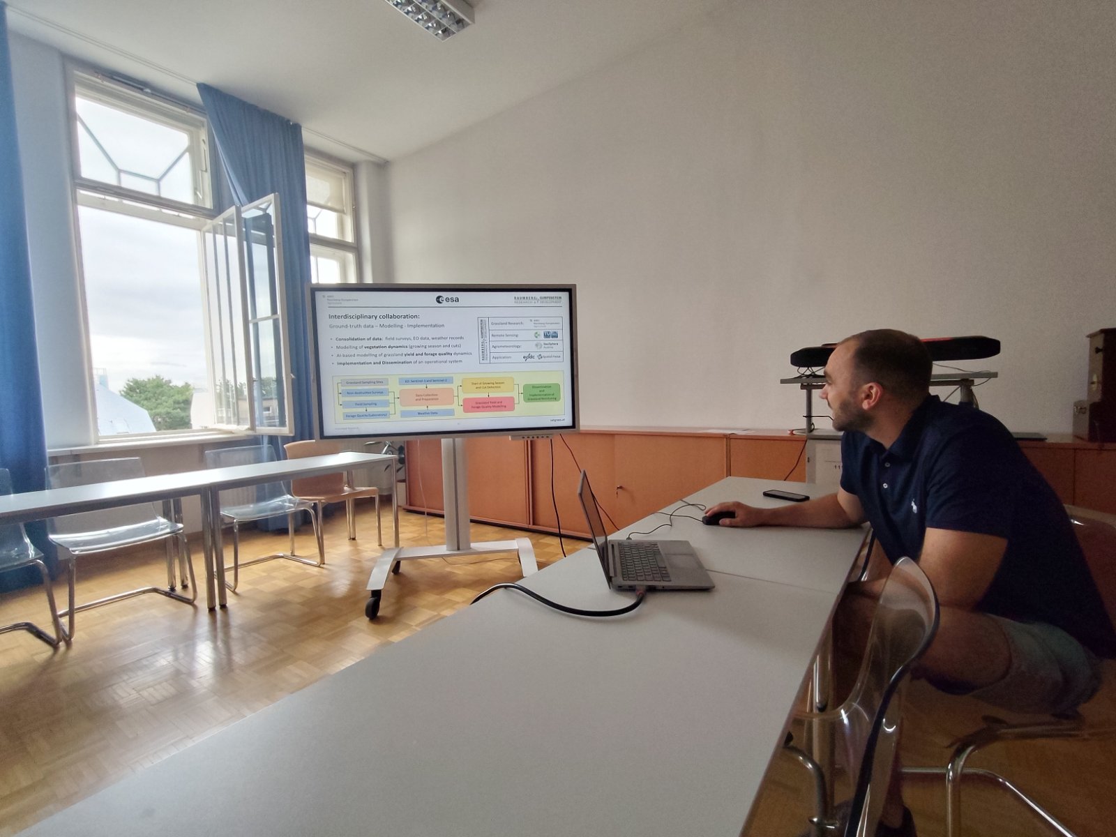
Special interest was aroused by the work of the BOKU Institute of geomatics which is considered one of the leading European Research Centers in the field of remote sensing and geographic information technologies. Its activities are based on large-scale international projects devoted to digital mapping, monitoring of land resources, climate change research, ecosystem modeling and the development of innovative methods for analyzing satellite data.
Scientists of the institute work with materials of satellite missions Sentinel-1, Sentinel-2 and Landsat using modern algorithms to determine the types of land cover, assess the state of vegetation, analyze the content of chlorophyll, the index of leaf surface area, moisture evaporation processes, and many other biophysical indicators. Such technologies are now widely used in precision farming, natural resource management, environmental monitoring and spatial planning.
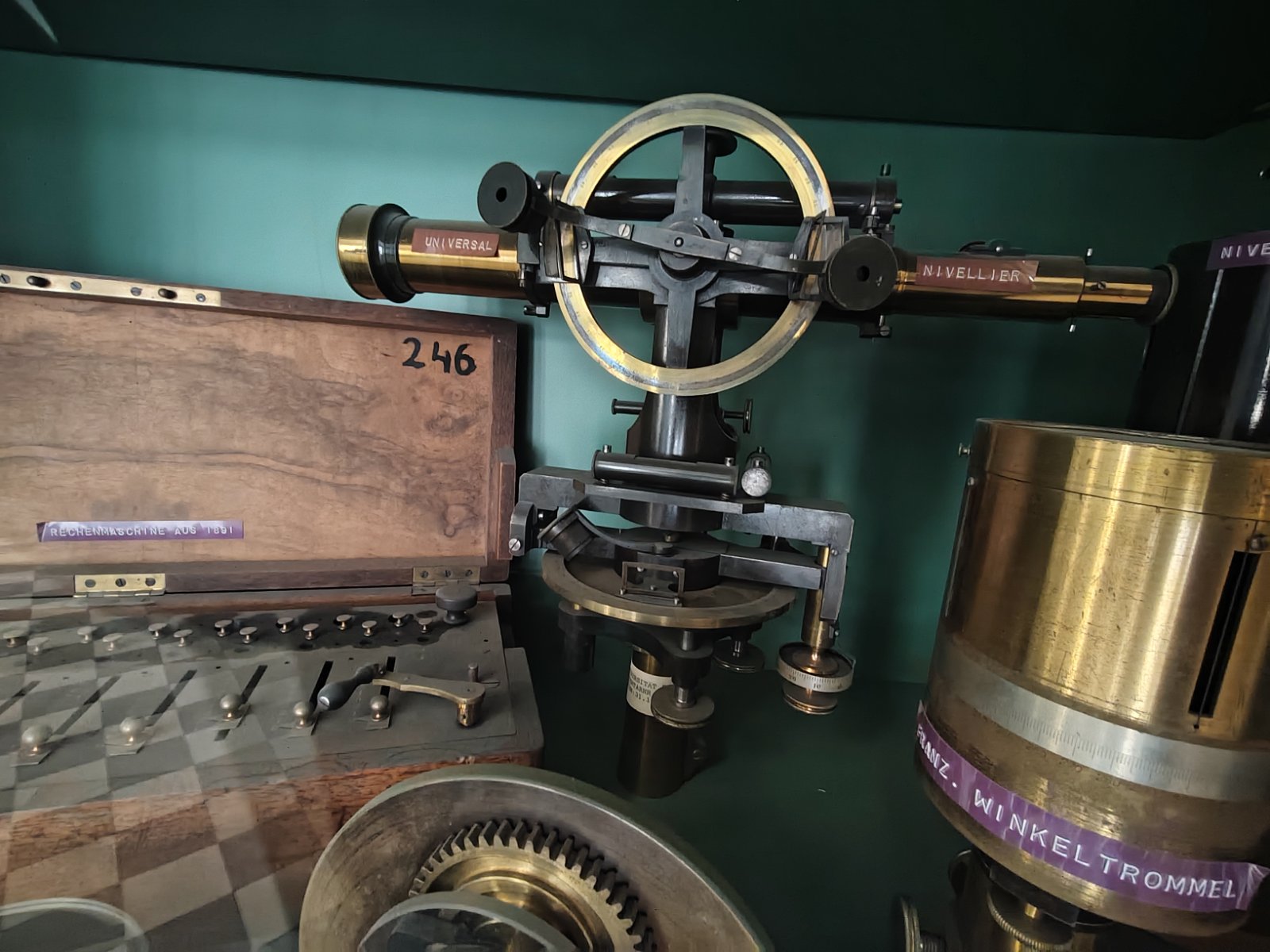
No less interesting was the introduction to the history of the BOKU University, founded in 1872. Today it unites more than 11 thousand students from one hundred countries of the world and is one of the leading European universities of life sciences. A special impression was made by the Museum of ancient geodetic instruments and photogrammetric equipment, which demonstrates the evolution of geodetic science — from classical mechanical instruments to modern digital technologies.
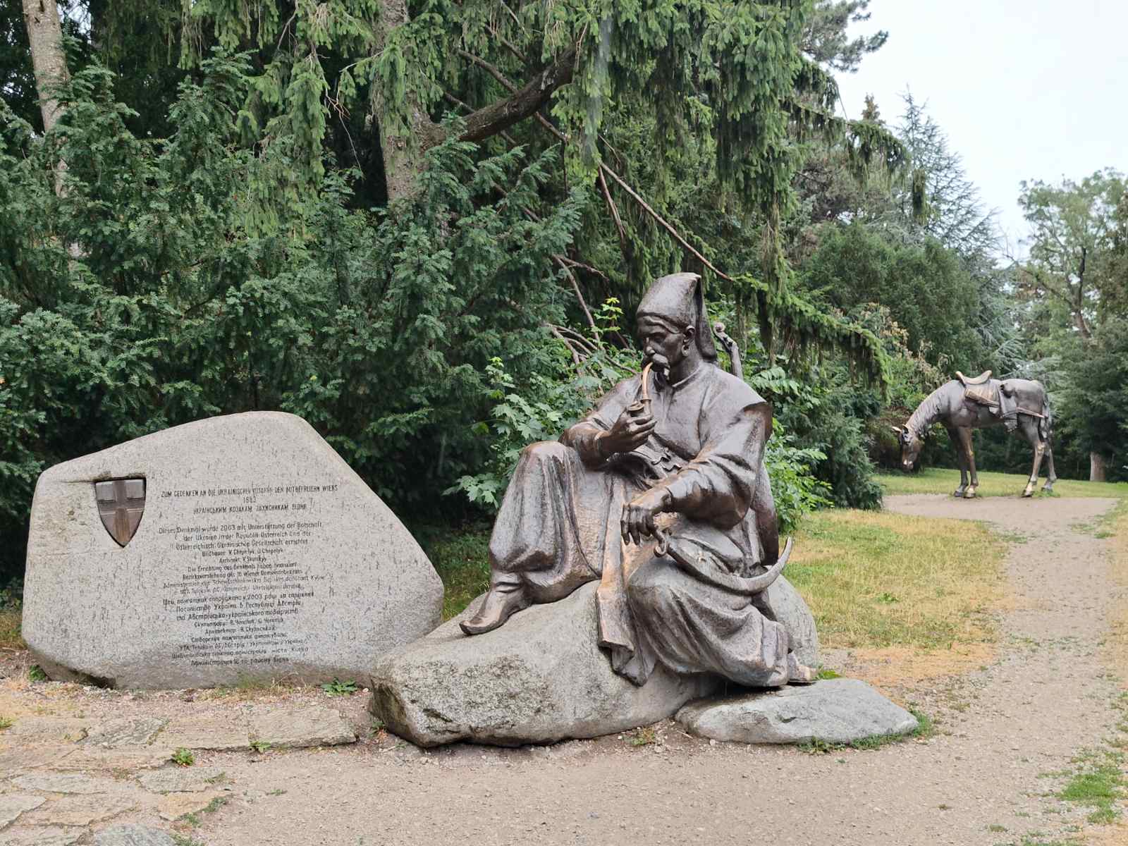
Negotiations with representatives of the International Department of the BOKU University became an important component of the internship development of academic mobility, expansion of student and teaching exchange programs, as well as preparation of joint international research projects. The parties paid special attention to the possibilities of participating in the program's competitions Horizon Europe, development of cooperation within the framework of ERASMUS+ and implementation of inter-university scientific initiatives.
According to the participants of the meetings, Ukrainian and Austrian scientists are working on many similar challenges — digitalization of territory management, monitoring of land resources, assessment of environmental risks and introduction of innovative geospatial technologies. That is why the establishment of such professional contacts creates a solid foundation for future joint research, international grants and exchange of experience.
The internship in Vienna was another confirmation that the faculty of land management of NUBiP of Ukraine is actively integrated into the European educational and scientific space. Borrowing the best international practices, developing academic mobility and expanding partnerships will contribute to the modernization of the educational process, strengthening scientific research and training a new generation of specialists capable of working with state-of-the-art geospatial technologies in Ukraine and abroad.