INTERGEO-2026: NUBiP Exploring the Future of Geodesy and GeoAI
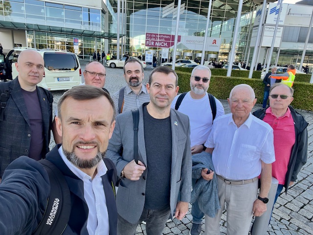
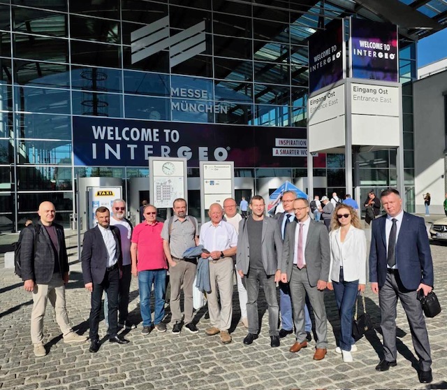
The INTERGEO International Conference and Exhibition — the premier annual gathering of the global community of surveyors, geoinformatics specialists, and land management professionals — took place in Munich, Germany, from 15-17 September 2026. The event was attended by Anatolii POLTAVETS, Associate Professor of the Department of Geoinformatics and Aerospace Earth Research; Lidiia PRYMAK, Senior Lecturer of the same department; Andrii MARTYN, Professor and Head of the Department of Land Management Design; and Taras IEVSIUKOV, Professor and Head of the Department of Geodesy and Cartography.
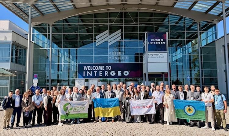
This year’s exhibition highlighted the rapid transformation of the geospatial profession, demonstrating how high-precision surveying is becoming increasingly integrated with computer vision, 3D modelling, and artificial intelligence technologies.
The event was truly global in scale. According to the organisers, INTERGEO 2026 welcomed more than 18,600 visitors from 121 countries and featured 530 exhibitors. Participation in INTERGEO has become a well-established tradition for NUBiP of Ukraine. University faculty and students regularly attend the exhibition to explore emerging technologies and exchange expertise with the international professional community. This continuous engagement strengthens the connection between academic education and the industry developing the tools that will shape the future careers of graduates.
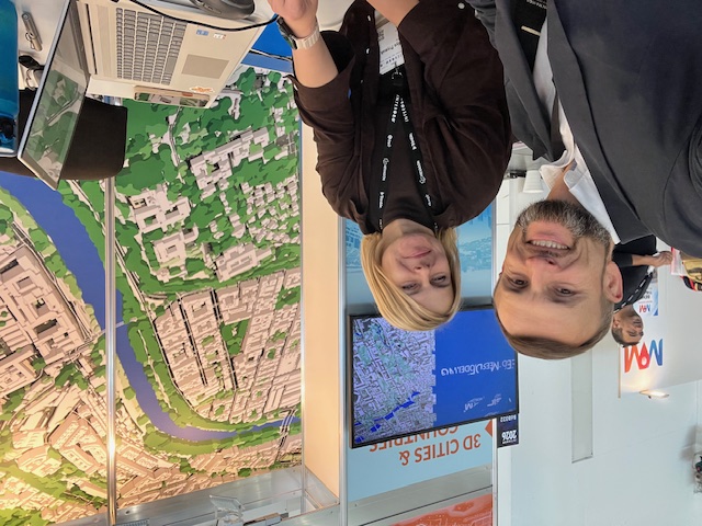

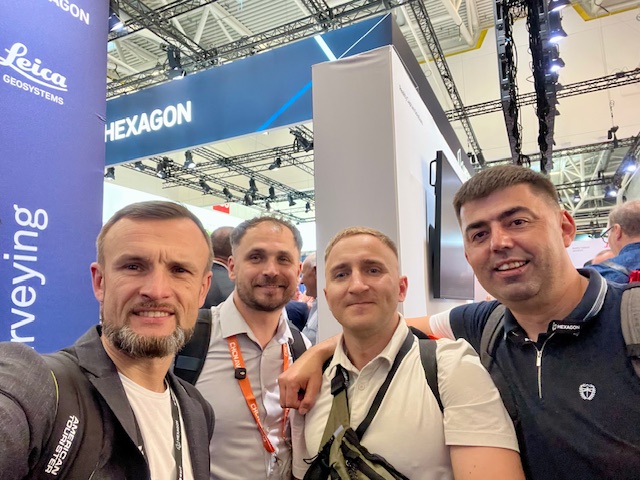
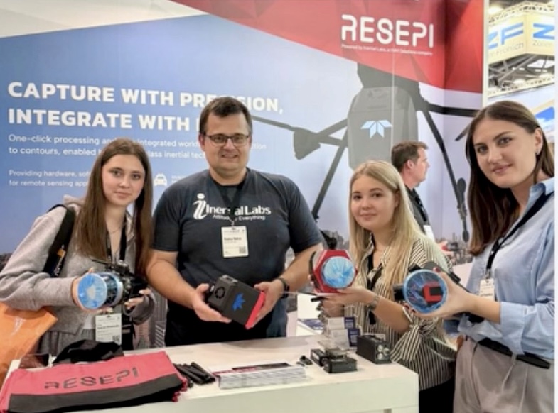
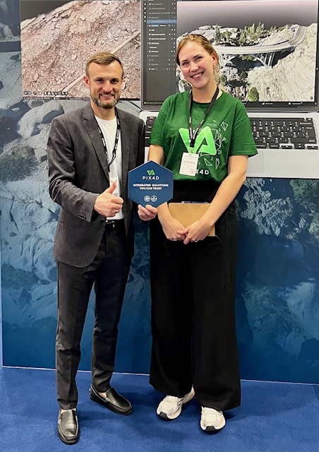
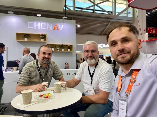
During their stay in Munich, Anatolii POLTAVETS, Andrii MARTYN, and Taras IEVSIUKOV held working meetings with representatives of AlphaGEO, Leica Geosystems, CHCNAV, Pix4D, Esri, and other leading providers of geospatial technologies. For the University, direct dialogue with manufacturers is particularly valuable, as it helps evaluate the capabilities of cutting-edge equipment, assess its suitability for education and research, and establish partnerships that enhance students’ practical training.
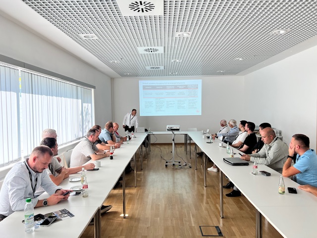
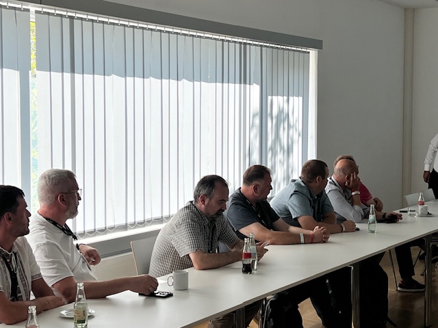
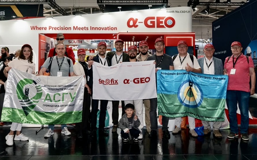
The outcomes of this cooperation are already evident at NUBiP of Ukraine. AlphaGEO LAB — the Educational and Research Laboratory of Geodesy and Cartography, officially opened on 1 September 2026 — originated from discussions initiated during INTERGEO 2025. The partnership between NUBiP, GEOFIX, and AlphaGEO has provided students with access to modern GNSS RTK receivers, electronic total stations, and SLAM scanners. In this case, international professional networking resulted in tangible educational infrastructure: advanced equipment that students now use in coursework and independent research.
This year’s INTERGEO programme covered digital twins, Building Information Modelling (BIM), satellite observation, engineering monitoring, unmanned systems, hydrography, and geospatial data for real estate management. Considerable attention was also devoted to digital sovereignty and the modernisation of public administration. Together, these themes illustrate the expanding role of geodetic knowledge — from determining precise object coordinates to supporting evidence-based decisions in territorial development, infrastructure planning, and natural resource management.
One of the most prominent themes was GeoAI — the application of artificial intelligence to geospatial data. For professionals, GeoAI offers the ability to rapidly extract meaningful information from massive datasets of imagery and measurements by recognising buildings, classifying point clouds, identifying infrastructure elements, and detecting landscape changes. As a result, geospatial analysis is increasingly automating tasks that previously required extensive manual interpretation.
The exhibition programme showcased numerous practical examples, including automated LiDAR processing for Germany’s national digital twin, transforming point clouds into structured BIM models, and recognising buildings in satellite imagery to support cadastral updates. Another emerging direction was agent-based GeoAI, where users describe tasks in natural language and intelligent software agents execute complex spatial data workflows. These developments are making sophisticated geospatial analytics significantly more accessible to everyday engineering practice.
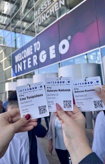
For land management education, this technological evolution raises the importance of advanced competencies in working with geospatial data. Notably, students of the Faculty of Land Management — Polina DIDIURA, Lina YUSIPISHENA, Kateryna RIZNICHENKO, PhD candidate Oleksii KUTSENKO, as well as alumni Kateryna MYKHAILYK and Mykola ZABUHA — also participated in INTERGEO 2026.
Today, collecting geospatial data and operating software alone is no longer sufficient. Future professionals must understand data provenance, measurement accuracy, coordinate reference systems, and the limitations of AI algorithms. Automatically recognised objects still require verification, while AI-generated results demand expert interpretation. The ability to critically assess data quality is becoming one of the defining competencies of surveyors and land management specialists in the GeoAI era.
These trends were reflected in practical technological solutions presented throughout the exhibition. One notable example was the Leica GS11 operating within the X-PAD software environment. Augmented reality enables surveyors to visualise stakeout guidance directly on the real-world scene, while image-based measurements facilitate coordinate determination for inaccessible points without positioning a survey pole. A unified software environment integrating GNSS receivers and robotic total stations also streamlines transitions between different surveying techniques.
Another important trend was the integration of satellite and optical positioning technologies. The Trimble ST30 combines an optical target with GNSS functionality, tilt compensation, and automatic pole height measurement. A similar concept is implemented in the new Topcon HiPer S1 and HiPer V1 receivers through Hybrid Positioning technology. Meanwhile, Topcon Origo uses an indoor reference map to support positioning during stakeout operations, reducing dependence on the direct line of sight required by conventional optical methods. Such solutions provide engineers with greater flexibility in adapting measurement strategies to complex site conditions.
For Ukrainian professionals, the resilience of satellite positioning is particularly significant. The new generation of Trimble Maxwell 8 GNSS modules incorporates protection against signal jamming and spoofing, improving operational reliability in challenging radio-frequency environments. Nevertheless, evaluating signal quality and independently verifying coordinates remain indispensable components of professional surveying practice.
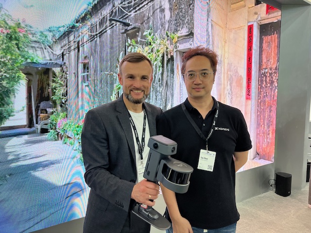
Another remarkable development is the convergence of laser scanning and photorealistic visualisation. Solutions based on the CHCNAV RS7 and XGRIDS Lixel L3 combine mobile laser scanning with imagery and 3D Gaussian Splatting technology, enabling highly realistic reconstruction of colour, lighting, and surface texture. These models greatly facilitate remote site inspection and collaborative project discussion. For engineering applications, however, their metric accuracy must always be validated according to the requirements of a specific project.
For Ukraine, these technological developments have immediate practical relevance. Updating topographic data for territorial communities, documenting damaged infrastructure, preparing geospatial information for reconstruction, and monitoring land and natural resources all require the rapid acquisition of reliable spatial data. GeoAI can substantially accelerate the processing of these datasets, while digital twins support coordinated collaboration among surveyors, land management specialists, designers, and local authorities. The successful implementation of these technologies ultimately depends on high-quality source data and well-trained professionals.

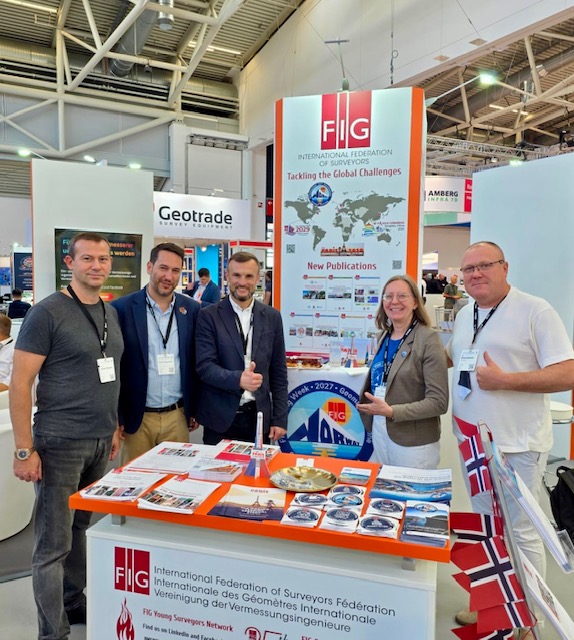
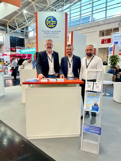
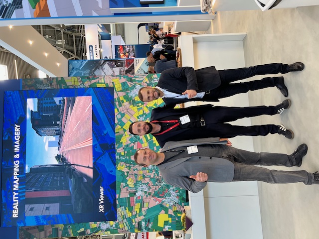

Participation in INTERGEO enables NUBiP of Ukraine to incorporate global trends into its educational programmes, research activities, and innovation ecosystem. For academic staff, the exhibition provides inspiration for modernising curricula, developing practical assignments, and identifying new research directions. For students, it offers a unique opportunity to experience the profession in an international context and better understand its future trajectory.
The experience of AlphaGEO LAB has already demonstrated how a partnership initiated at an international exhibition can evolve into a modern university laboratory. This is how NUBiP of Ukraine’s long-standing presence in the global geospatial community gains tangible value — through international collaboration, knowledge transfer, and providing students with access to state-of-the-art geodetic technologies.
The next INTERGEO will take place in Frankfurt am Main, Germany, on 12–14 October 2027.