відкритий урок «Е. Сігал «Історія одного кохання»
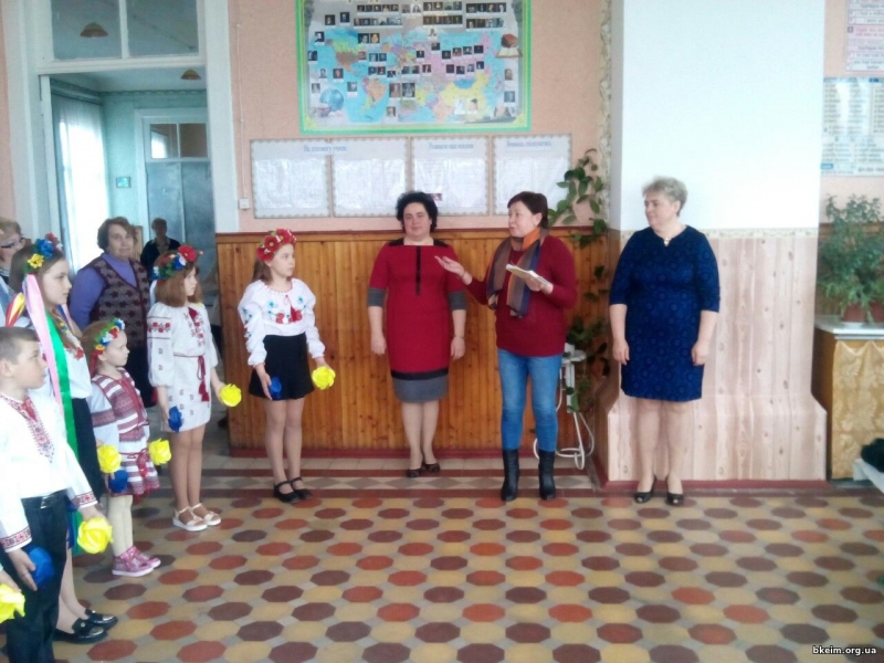
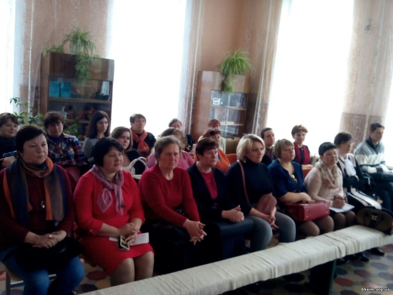
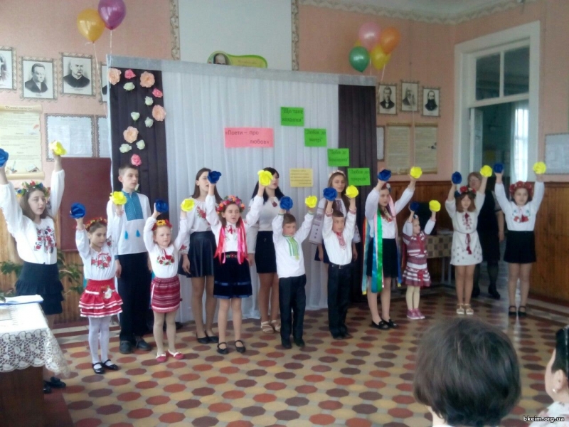
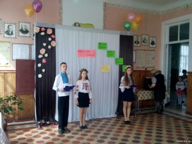
5 квітня викладачі коледжу взяли участь у районному семінарі вчителів зарубіжної літератури, що відбувся на базі Макарівської ЗОШ І-ІІ ступенів, на якому було обговорено відкритий урок «Е. Сігал «Історія одного кохання» та виховний захід «Поети про кохання» (вчитель Конішевська Г.О.) та заодно приємно було вручити учню 9 класу Шапаренку Сергію збірник матеріалів міжвузівсько-шкільної учнівсько-студентської конференції «Мова, література, мистецтво в Україні. Пошуки, перспективи, видатні постаті», учасником якої він був.