
Здобувачі вищої освіти за освітньою програмою «Управління інноваційною та консалтинговою діяльністю» захистили свої магістерські проєкти
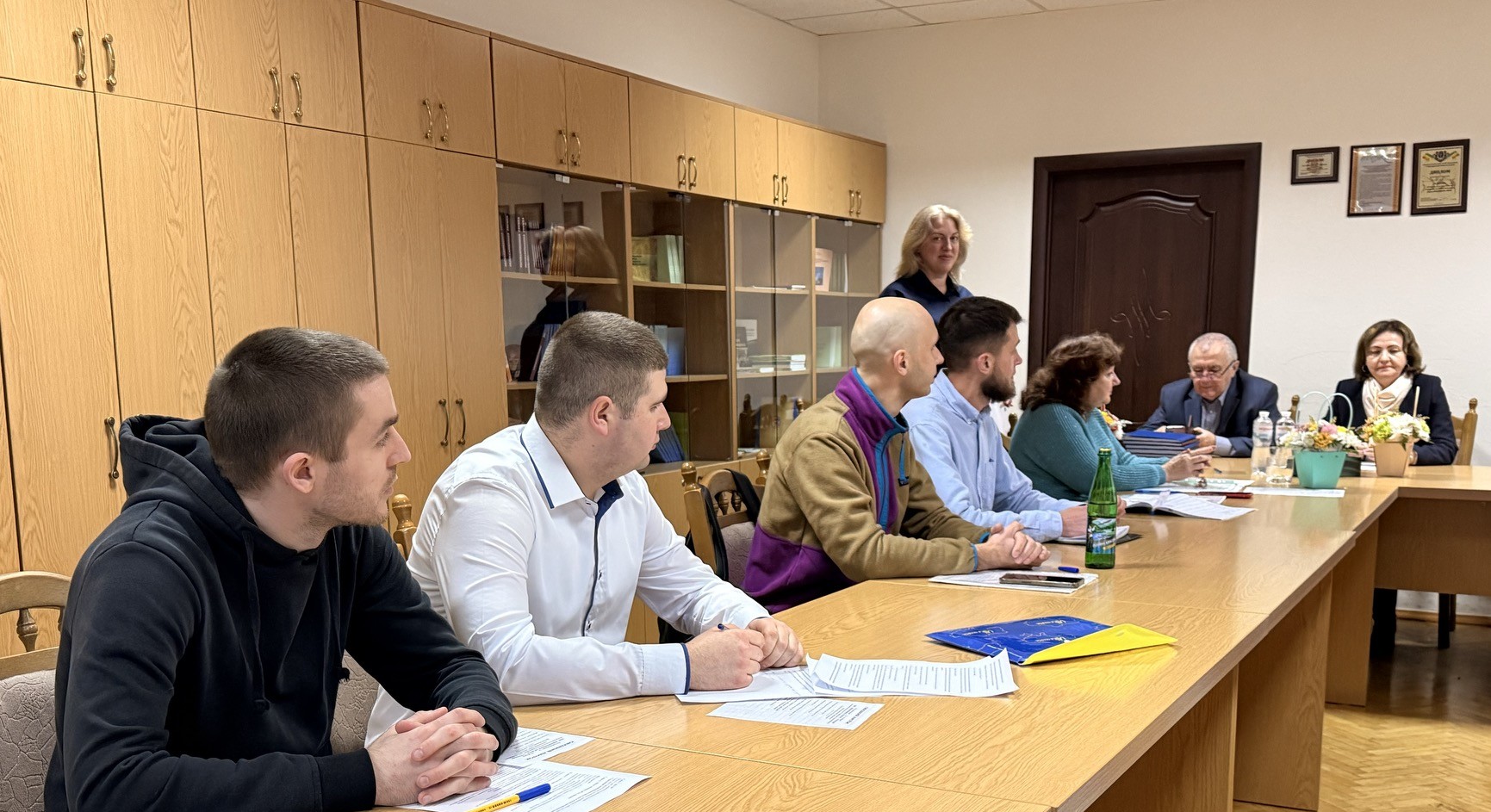
3–4 грудня 2025 року в ННІ неперервної освіти відбувся захист магістерських кваліфікаційних робіт здобувачів другого (магістерського) рівня вищої освіти спеціальності «Менеджмент» за освітньою програмою «Управління інноваційною та консалтинговою діяльністю» денної та заочної форм навчання.
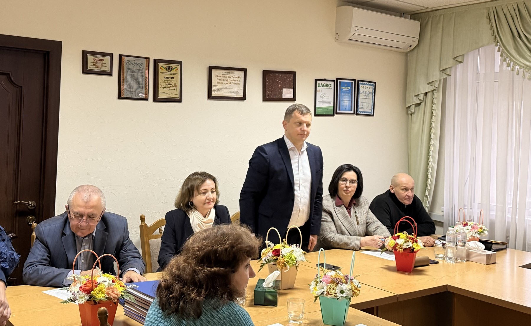
Захід відкрила в.о. директорки ННІ неперервної освіти, д.е.н., професорка Юлія НЕГОДА. Вона побажала студентам упевнено презентувати результати своїх досліджень, продемонструвати високий рівень професійної підготовки та надалі успішно застосовувати набуті компетентності в управлінні інноваціями та консалтинговими проєктами. Членам екзаменаційної комісії професорка висловила вдячність за їхню працю та побажала плідної роботи.
Від ректорату до учасників захисту звернувся проректор з науково-педагогічної роботи та міжнародної діяльності, д.е.н., доцент Олександр ЛАБЕНКО. Він привітав здобувачів із важливим етапом професійного становлення, подякував науковим керівникам і викладачам за системну підтримку та високий рівень підготовки, а також побажав успішних презентацій, нових наукових досягнень, сміливих управлінських рішень та реалізації інноваційних задумів.
Від екзаменаційної комісії слово мала д.е.н., професорка Лідія ШИНКАРУК, яка наголосила, що компетенції, набуті під час опанування ОП «Управління інноваційною та консалтинговою діяльністю», є потужним фундаментом для формування сучасних менеджерів інноваційного типу. Вона підкреслила, що наполегливість та цілеспрямованість здобувачів дозволять їм упевнено реалізовувати консалтингові проєкти та впроваджувати інноваційні рішення.
До складу комісії увійшли: в.о. завідувачки кафедри публічного управління, менеджменту інноваційної діяльності та дорадництва, д.е.н., професорка Ольга ВИТВИЦЬКА; завідувач кафедри економічної теорії, д.е.н., професор Микола ТАЛАВИРЯ; доцент кафедри публічного управління, менеджменту інноваційної діяльності та дорадництва, к.е.н. Роман КОРІНЕЦЬ.
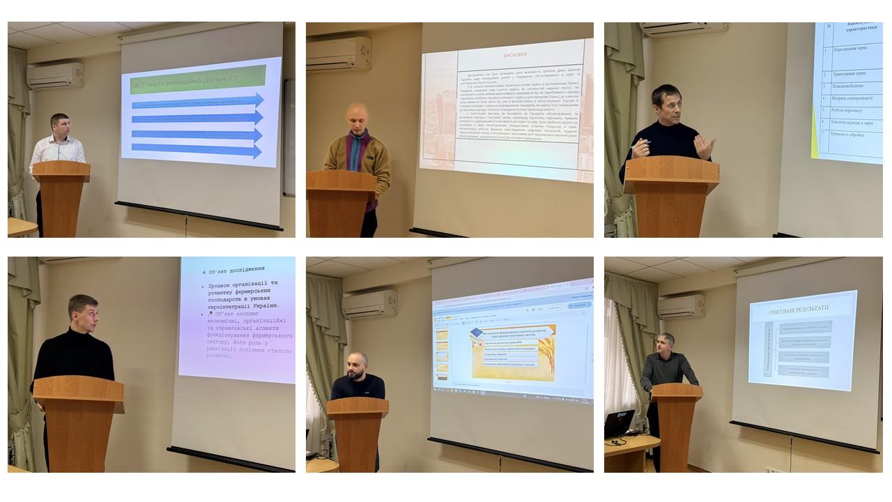
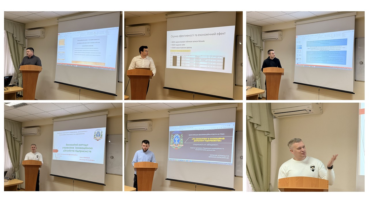
У процесі захистів здобувачі продемонстрували здатність глибоко аналізувати сучасні виклики в управлінні інноваційною діяльністю, застосовувати консалтингові методики та розробляти практично орієнтовані рекомендації для вдосконалення управлінських процесів у бізнесі.
Екзаменаційна комісія високо оцінила рівень професійної підготовки, інноваційність підходів та практичну значущість представлених робіт. Атмосфера захистів була конструктивною, сприяла фаховій дискусії та обміну сучасними управлінськими ідеями.
ННІ неперервної освіти щиро дякує здобувачам за сумлінність, професійне зростання та відданість обраній спеціальності.
Бажаємо вам упевненості, нових досягнень і реалізації всіх амбітних планів! Ми пишаємося вашими успіхами!