
Викладачі німецької мови взяли участь у семінарі у Берліні
Das Leben kann nur in der Schau nach rückwärts verstanden,
aber nur in der Schau nach vorwärts gelebt werden
(Søren Kierkegaard)
Дуже важливим в нашому житті є пам'ять – пам'ять в усіх її проявах. Німеччина, яка відсвяткувала чергову річницю падіння Берлінської стіни, є однією з країн, що має високу культуру пам’яті. Мені пощастило стати учасницею серії семінарів відкритого суспільства, які відбулися вперше для викладачів німецької мови і проводилися в Берліні.
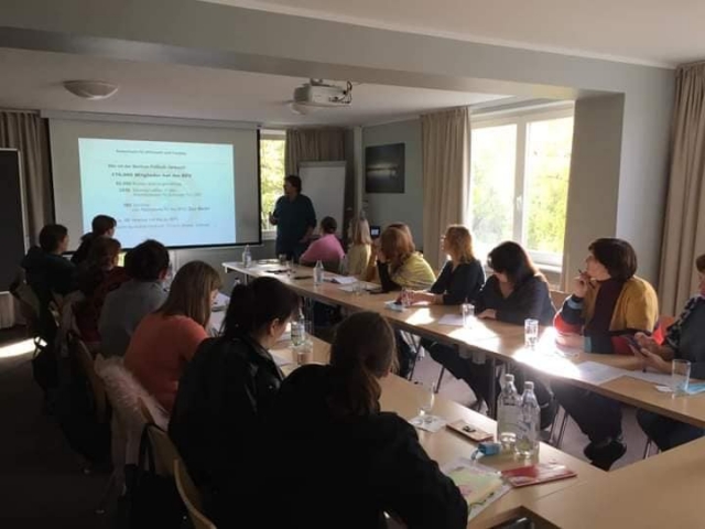
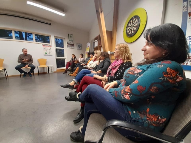
Основною темою була «Культура пам’яті» («Erinnerungskultur»). Впродовж часу проведення семінарів ми мали чудову нагоду не тільки познайомитися зі столицею Німеччини, а й з надзвичайними людьми завдяки організаторам – Петеру Лізигангу та Ірині Сердюк. Гостею одного із семінарів була Вальтрауд Шваб – німецька журналістка та письменниця, лауреат премії Теодора Вольфа, яка розповідала нам про історію Німеччини на основі віршів. Цікавою була зустріч з Каролою Дюринг – представницею Європейської Академії у Берліні, яка провела семінар на тему «Політична освіта, методи, ідеї – на прикладі ЄС та Східного партнерства». Пані Дюрінг розповіла про цікаві проєкти, які організовує академія, також ми отримали посилання на сайт Європейської Академії, на якому розміщені навчальні матеріали, які можна використати у викладанні німецької мови, а також почерпнути нові ідеї для власних занять. Окрім даного семінару ми провели дискусію щодо відвіданих меморіальних пам'яток та їх важливість з метою збереження культури пам'яті.


Надзвичайно цікавою виявилася зустріч із Гердом Лізегангом – колишнім керівником Берлінської футбольної спілки. З семінару «Суспільне значення футболу у Німеччині» ми довідалися, наскільки важливим може бути футбол у суспільстві. Пан Лізеганг розповів нам про співпрацю спілки з різними установами і проєктами та про основні завдання спілки – захист дітей, запобігання насиллю, расизму, залежності, булінгу тощо.
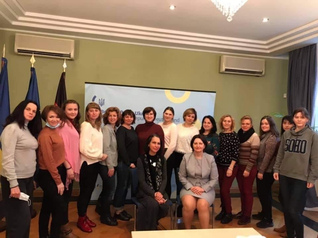
Незабутнім і теплим був прийом у Посольстві України в Німеччині, де нас гостинно прийняла радниця посла пані Оксана Дубовенко. Ми були надзвичайно раді поспілкуватися на актуальні теми сьогодення. Під час насиченої програми група викладачів німецької мови відвідала музеї Берліна, пов’язані з темою Другої світової війни, місця пам’яті загиблих від нацизму.
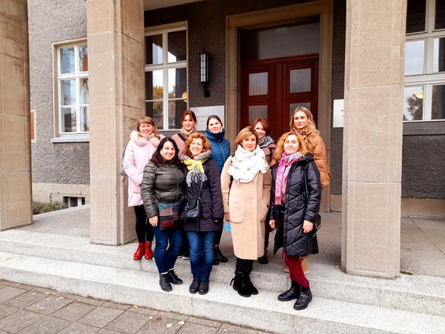
Надзвичайним був день відвідин Меморіального комплексу «Берлінська стіна» (Gedenkstätte Berliner Mauer), фрагменти якого можна побачити на Бернауерштрассе. Його довжина сягає 1,4 км і вражає своїми історіями, які не завжди мали щасливе завершення. Тема «стіни» досить актуальна і в нашому суспільстві. Наша спікерка, пані Вінанд наголосила, що Меморіальний комплекс «Берлінська стіна» було споруджено за громадянською ініціативою, що дуже важливо, оскільки пам'ять про страшні події минулого допомагає не повторювати подібного у майбутньому. Свідоме суспільство допомагає розвивати державу. Також у нас була нагода відвідати Luisenstädter Friedhof – старе кладовище, площа якого 90 998 м² на Бергманштрасе, район Берлін-Кройцберг, побудоване в 1831 році. Екскурсію нам проводив Якоб Пройс – знаний автор документальних фільмів, який проводив зйомки в Україні, Боснії, Ірані, Марокко та Європі. Він є автором фільму «Інший Челсі. Історія з Донецька», був удостоєний премії. Завдяки юридичній освіті та науковій роботі у сфері європеїстики Якоб Пройс, крім режисерської діяльності, постійно бере участь і у політичному житті.


Неможливо передати свої емоції словами, наскільки цікавими, пізнавальними та корисними є семінари організації dAch gGmbH. Викладачі, окрилені новими знаннями, відкриттями, дискусіями, які відбувалися щодня, не помітили, як швидко пролетів час і прийшла пора повертатися додому, щоб поділитися зі своїми студентами набутою інформацією. Як каже народна німецька мудрість: «Ost, West – zu Hause best».
Світлана Москаленко,
старший викладач
кафедри іноземної філології і перекладу