День відкритих дверей у Немішаївському фаховому коледжі
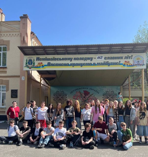
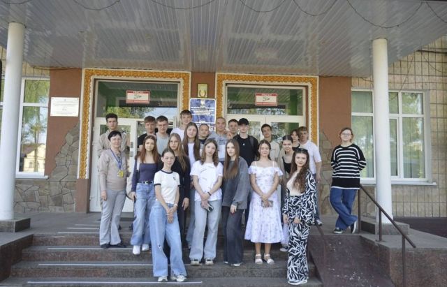
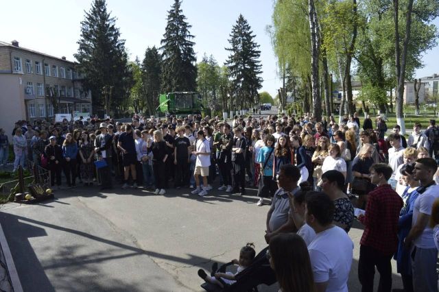
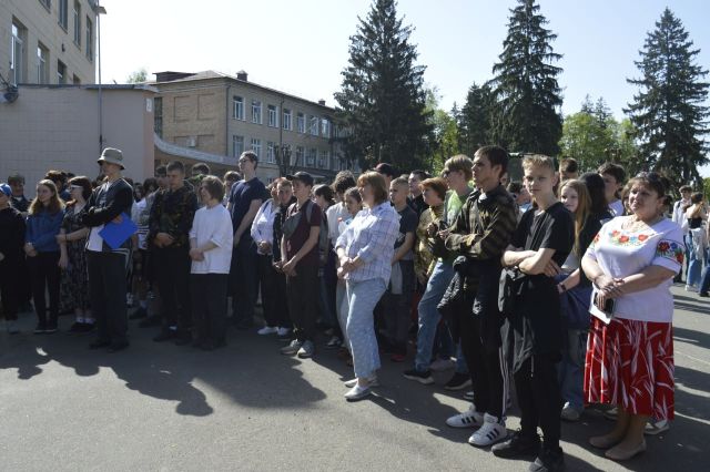
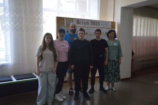
23 квітня 2025 року Немішаївський фаховий коледж провів масштабний День відкритих дверей та гостинно зустрічав абітурієнтів з Немішаївської, Бучанської, Бородянської, Димерської та Васильківської територіальних громад.
З вітальним словом до гостей заходу звернувся директор Володимир АЛЬОХІН, який зробив акцент на перевагах та перспективах навчання у коледжі, заступник директора Олександр САНЧЕНКО ознайомив з інноваціями закладу освіти.
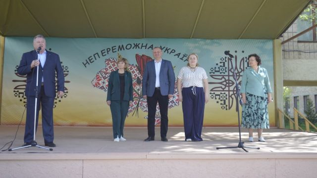
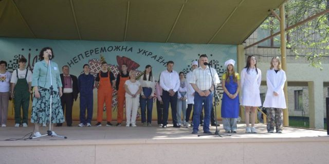
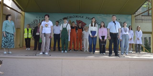
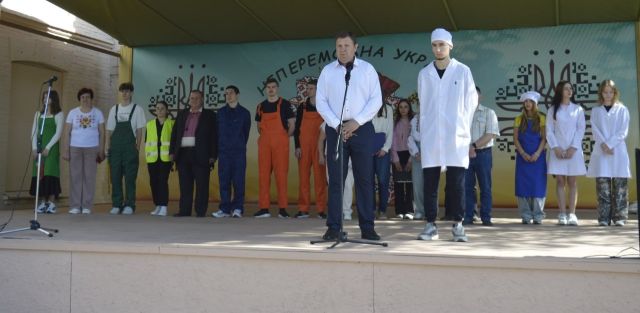
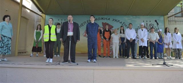
Начальник відділу освіти Немішаївської ОТГ Олена ЛАЗУТІНА відзначила високий рівень фахової підготовки у коледжі, важливість проведення подібних заходів для професійної орієнтації школярів, наголосивши, що подібні зустрічі сприяють зміцненню співпраці між освітніми закладами та громадою.
Відповідальний секретар приймальної комісії Тетяна ЛУКЕРЧЕНКО наголосила на ключових аспектах вступної кампанії – 2025.
Голова студентської ради Карина РАБЧЕВСЬКА звернула увагу на основні напрямки діяльності студентського самоврядування, а також на заходи спрямовані на організацію якісного та цікавого дозвілля студентів.
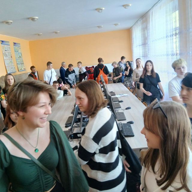
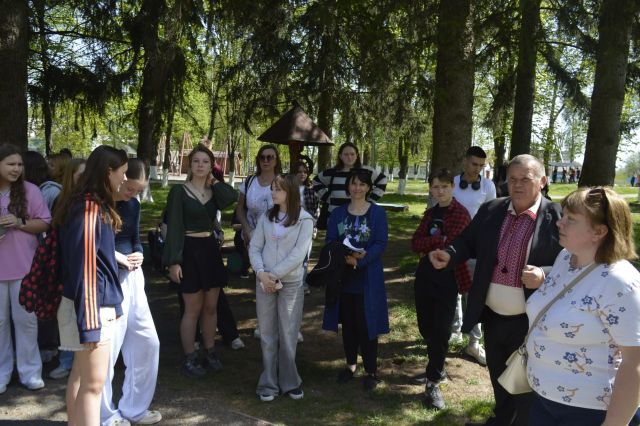
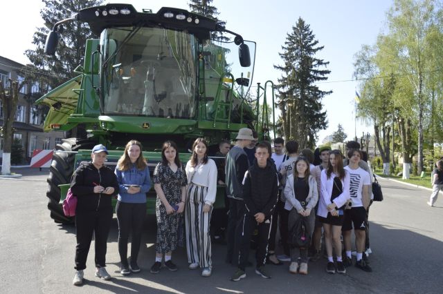
На майбутніх абітурієнтів та гостей чекала насичена програма. Вони ознайомилися зі спеціальностями коледжу, відвідали лабораторії п'яти відділень, де взяли участь у різноманітних цікавих майстер-класах. У школярів перехоплювало подих від цікавого та захоплюючого дійства!
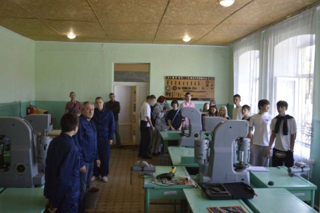
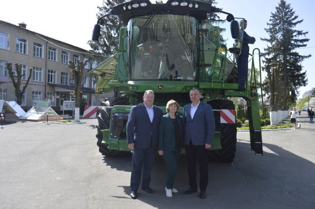
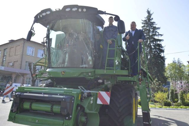
На відділенні «Експлуатація та технічний сервіс машин і обладнання» майбутні механіки практично ознайомилися з такою сучасною технікою, як автотренажер, трактор, комбайн John Deere, а також мали можливість попрацювати з різними пристроями та обладнанням.
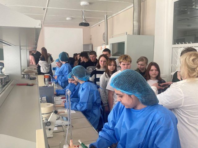
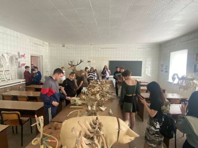
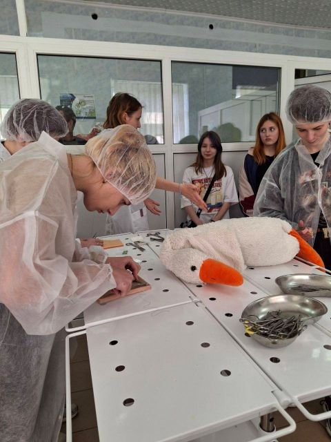
Вчилися робити ін’єкції та накладати шви, проводили аналіз результатів дослідження, стали учасниками клінічного та рентген-дослідження обстеження – і все це на відділенні «Ветеринарна медицина».
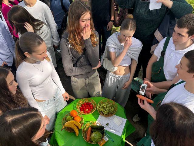
На відділенні «Аграрний бізнес» навчилися визначати вміст нітратів в овочах та фруктах, проводили живцювання хвойних багаторічних дерев та кущів, ознайомились з імунними сортами ягід та сортових культур, із колекцією м’яти, із різними сортами смородини та ожини, із спорудами закритого ґрунту.
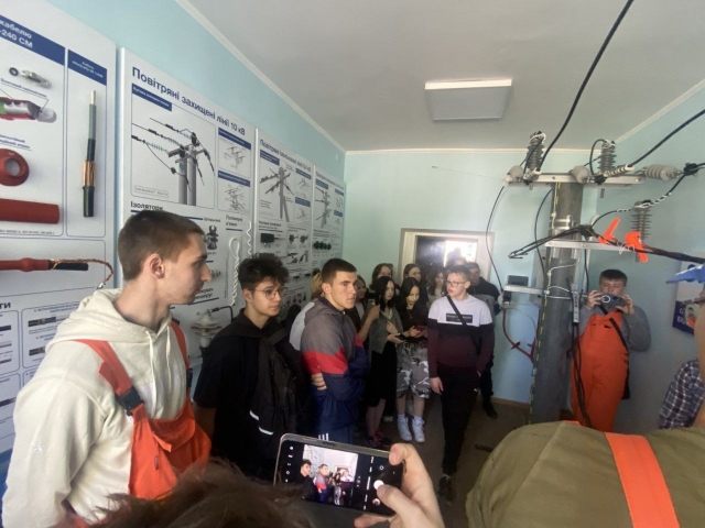
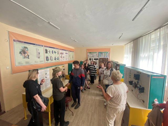
Школярі взяли участь у майстер-класі з вимірювання температури електроустановок за допомогою тепловізора, дізналися цікавинки про сонячну енергетику, про принцип роботи сонячної електростанції, «розумного будинку», потрапили у віртуальне цифрове середовище через віртуальні окуляри на відділенні «Електрифікація і відновлювальна енергетика».
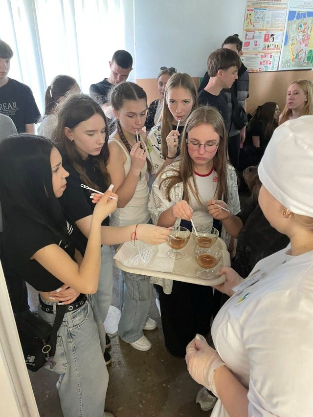
На відділенні «Технології харчового виробництва» вчилися визначати якість молочної сировини в лабораторії «Якість та безпека харчових продуктів та продовольчої сировини». У НВЛ «Технологія молока та молочних продуктів» дегустували солону карамель, в НВЛ «Технології харчових виробництв» взяли участь у дегустації мафінів та сирних кульок.
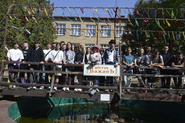
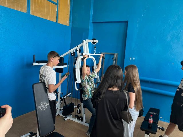
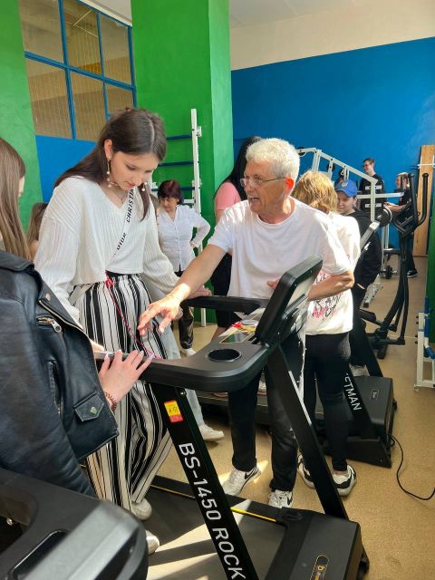
Гості побували у спортивно-оздоровчому комплексі, спробували свої сили у спортивній та тренажерній залі, мали можливість спуститись в укриття, де незвичним для них були встановлені ліжка, а на "Містку бажань" загадали свої найзаповітніші мрії та бажання.
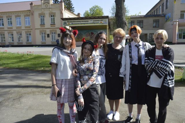
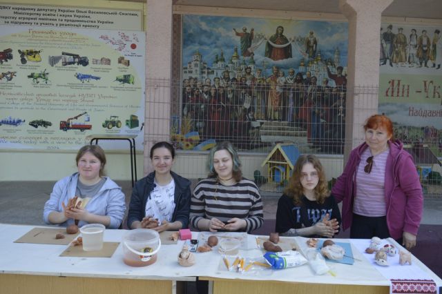
Впродовж екскурсії територією коледжу гості спостерігали за творчими перформансами студентів-учасників театральної студії «Дебют», взяли участь у майстер-класі виготовлення свистунця із глини.
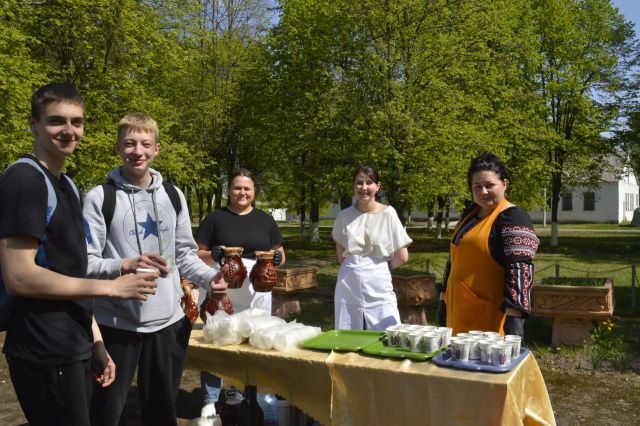
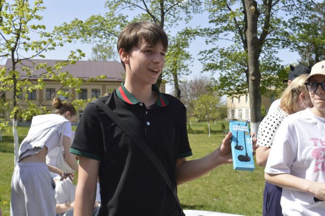
По завершенні екскурсії пригощалися смачним козацьким кулешем, прохолодними напоями та взяли участь у розіграші лотереї, де отримали неочікувані призи.
Захоплені новими враженнями від екскурсії та цікавих майстер-класів учні шкіл висловлювали щиру вдячність за можливість відчути атмосферу коледжу на Дні відкритих дверей. Їхні сяючі очі та жваві обговорення стали найкращою подякою організаторам за цікавий досвід та нові знання.
Маємо надію, що такий цікавий та насичений захід допоможе абітурієнтам зробити правильний вибір, обрати ту професію, яка стане улюбленою та вступити до Немішаївського фахового коледжу для подальшого навчання!
Дякуємо ЗСУ за захист та змогу проводити подібні профорієнтаційні заходи!
СЛАВА УКРАЇНІ! ГЕРОЯМ СЛАВА!
Олена ІВАЩЕНКО,
бібліотекар