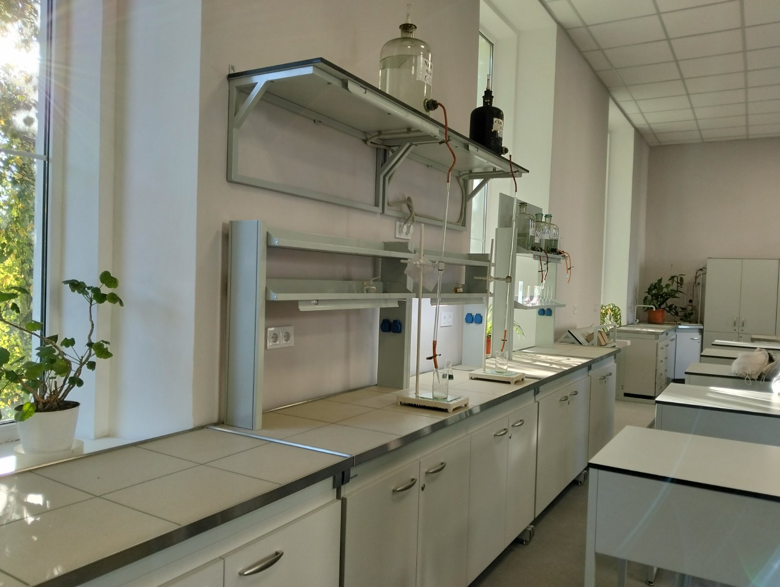
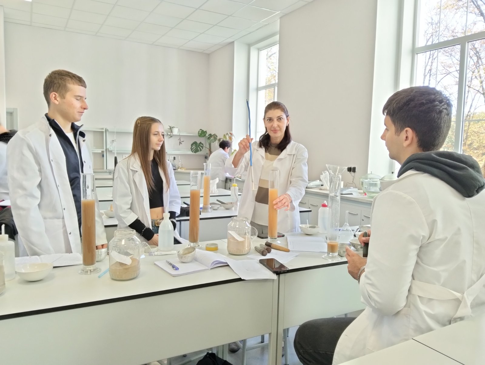
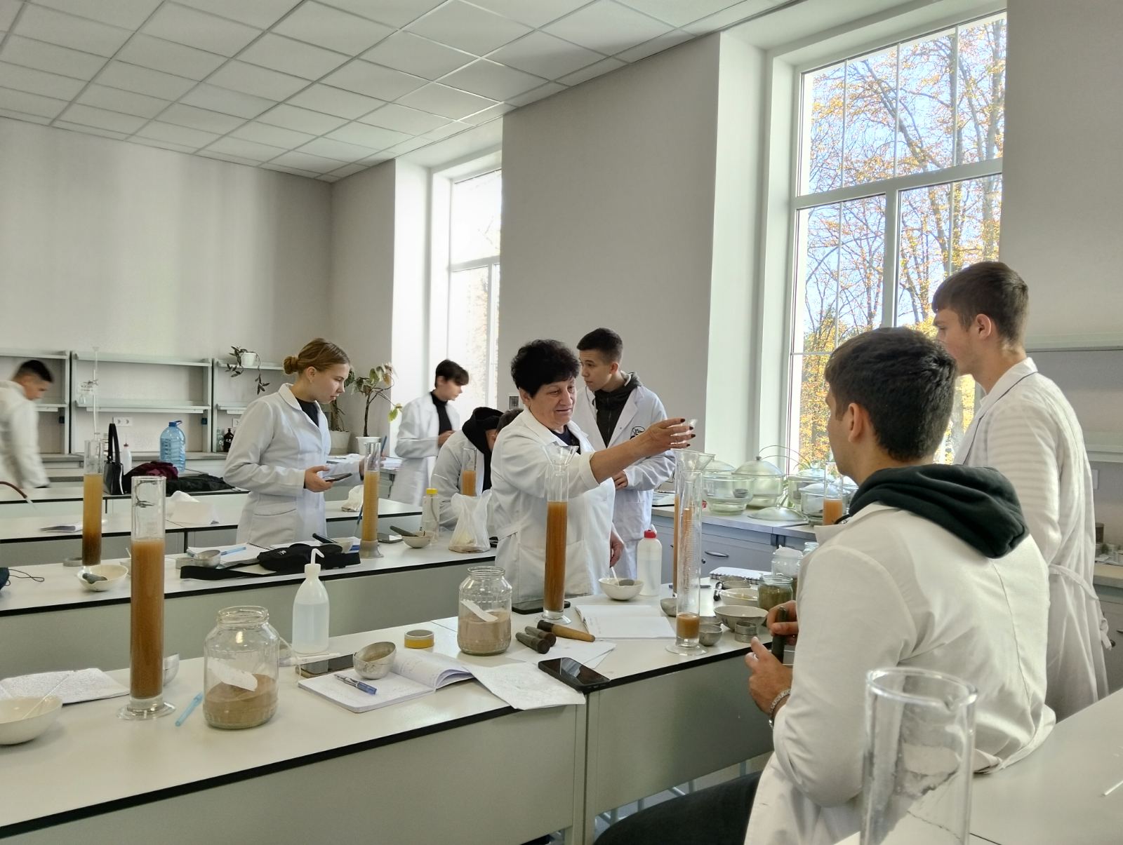
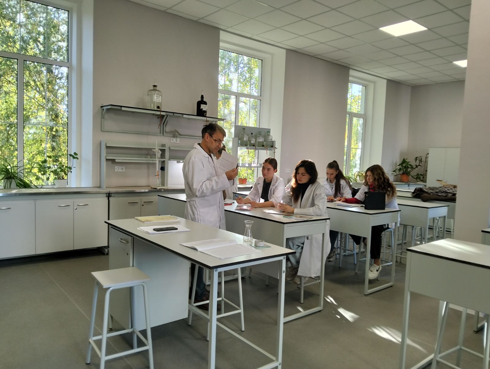
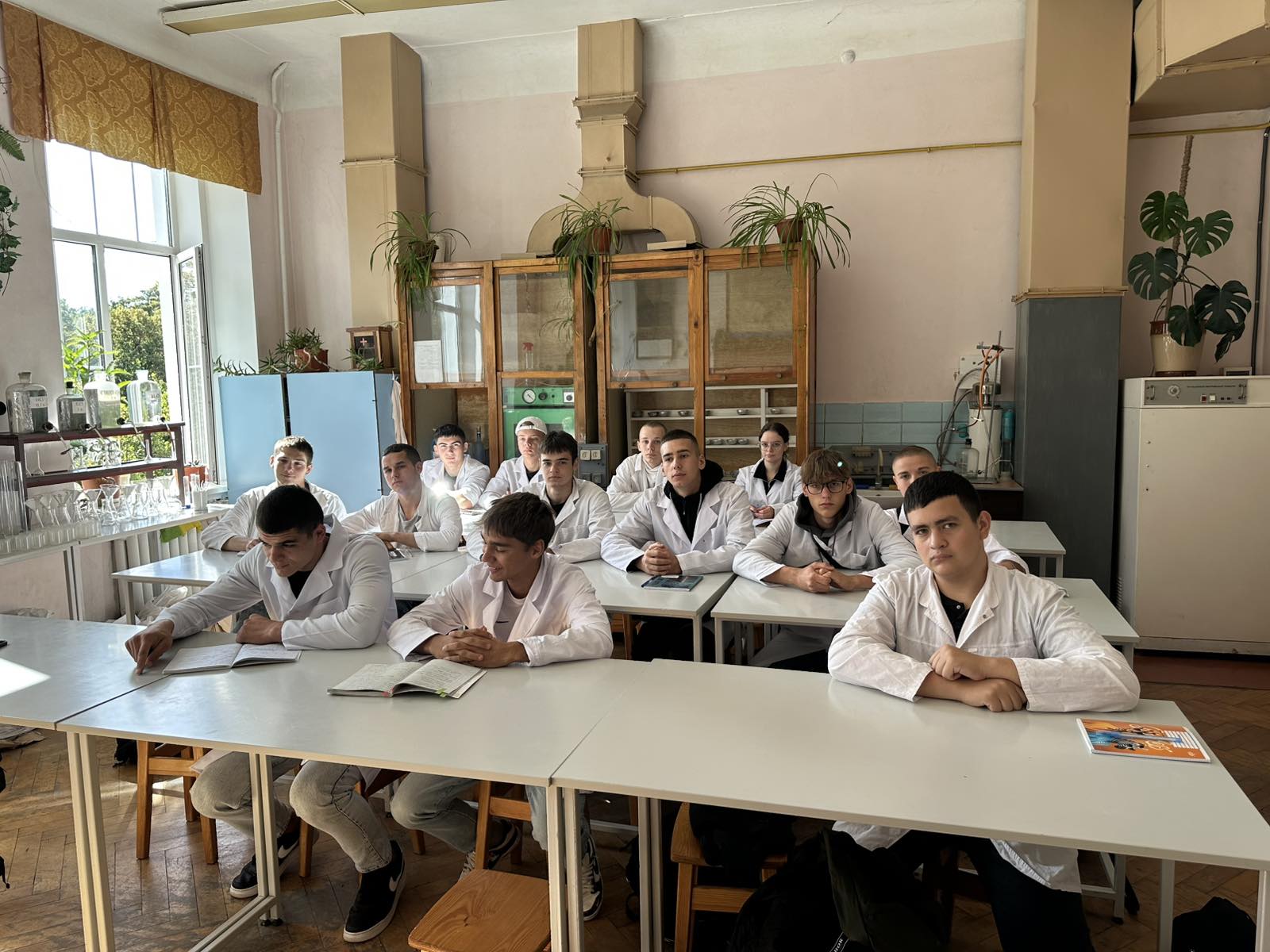
Training laboratories
Educational laboratories provide laboratory and practical classes for students of educational degrees "Bachelor" and "Master" in the disciplines assigned to the department.
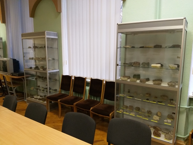
1. Educational laboratory of soil science and soil protection (33, 40 k. 2)
Regulations on the laboratory
Laboratory passport (33), Laboratory passport (40)
The main purpose of the laboratory is to acquaint students with the current state of soil resources of the world and Ukraine, ways of their rational use, assistance in mastering a set of modern measures to preserve and reproduce their fertility. Providing an appropriate volume of theoretical, and practical foundations of soil science, assessment of degradation processes in soils, forecasting the processes of mechanical, physical and chemical degradation, development of measures to preserve and restore soil fertility. Teach students to quantify the potential productivity of soil differences and land plots as a whole (regardless of the nature of their use) and with a certain special use (growing specific crops, perennial plantations, etc.); to compose cartograms of the quality of soils of individual farms (farms) and administrative and other regions; to achieve students' ability to use the results of soil bonitation and qualitative assessment of land for programming crop yields, assessment of crops.
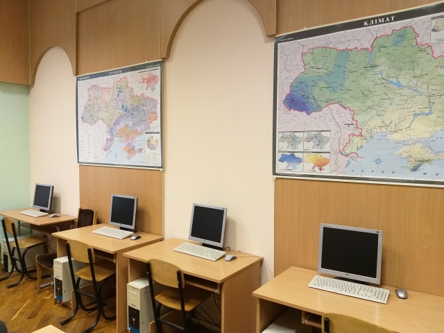
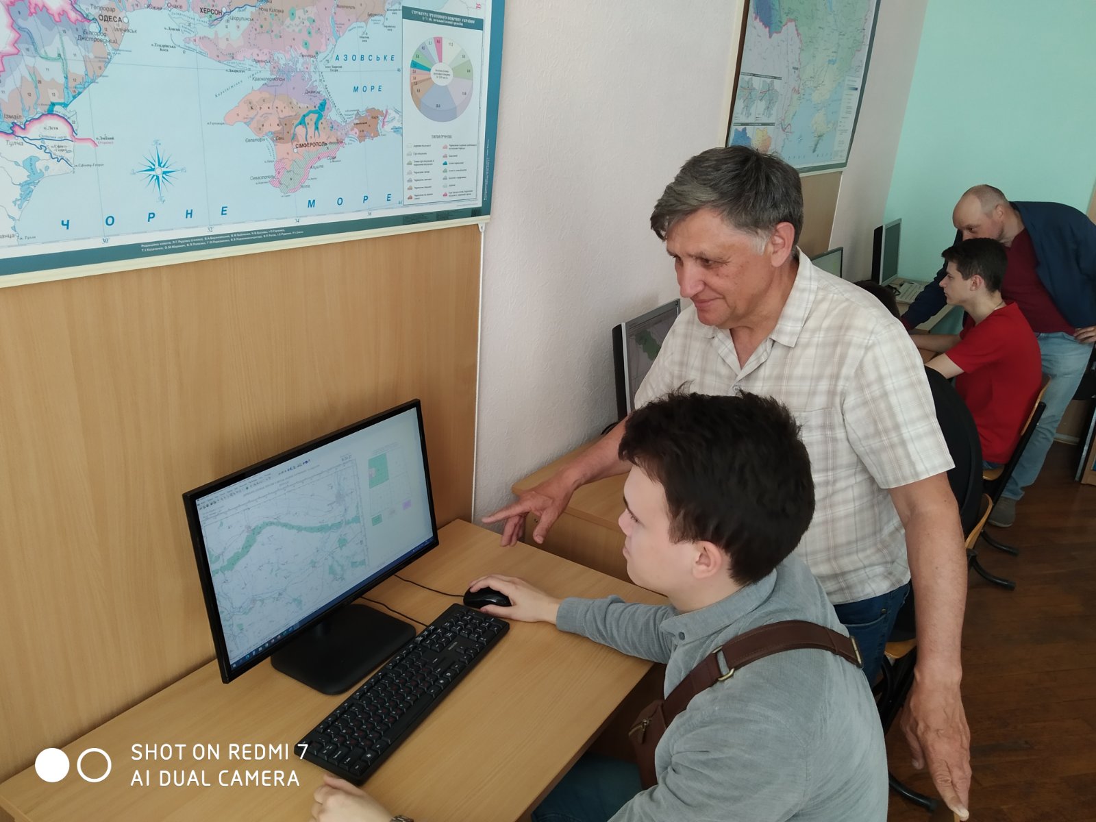
2. Educational laboratory of geology and cartography of soils (14 h. 2)
The purpose of the laboratory is to help the student acquire the appropriate volume of theoretical, methodological knowledge and practical skills to study the regularity of the structure of the Earth's surface, means of its measurement and reflection on topographic maps. In the process of learning, students get acquainted with information on topographic measurements on the ground, with methods of analysis, compilation and use of soil, environmental, thematic maps and cartograms. When studying “Soil Cartography”, students build a geomorphological profile of a particular region, create legends of thematic maps and prepare a cartographic basis for special environmental research. Learn to assess the possible risk of crisis geological phenomena and disasters. In turn, the course “Geology” involves the study of the material composition of the earth’s crust, which is the mineral basis of all soils and soil, acquaintance with the most important minerals and rocks. The ability to read on topographic maps and recognize various forms of relief on the ground; build a geological profile of the area; recommend the use of certain agronomic ores and natural ameliorants as fertilizers and for other agricultural events.