
Lab descriptions GeoInf&ASRE
The department operates a training laboratory of geoinformation technologies (rooms 102, 103, 120, building 6) and an educational-scientific-production laboratory of geoinformation technologies and remote sensing (room 204, building 6).
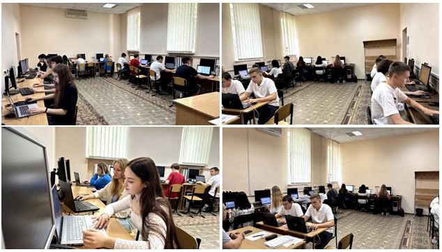
Training laboratory of geoinformation technologies
The training laboratory conducts laboratory and practical classes for students of the Bachelor's and Master's programs in the following specialties: 193 Geodesy, Cartography and Land Management, 122 Computer Science (OP Computer Ecological and Economic Monitoring); 201 Agronomy (OPP Agrochemical Service in Precision Agricultural Production).
Teaching is conducted in Ukrainian and English.
The main functions of the educational laboratory:
- conducting laboratory and practical classes in accordance with the current curricula and the schedule of the educational process;
- improving the quality of the educational process and actively implementing geoinformation technologies and modern methods of remote sensing of the Earth in the educational, research and production process;
- creating appropriate working conditions for all participants in the educational process in accordance with the requirements of current legislation;
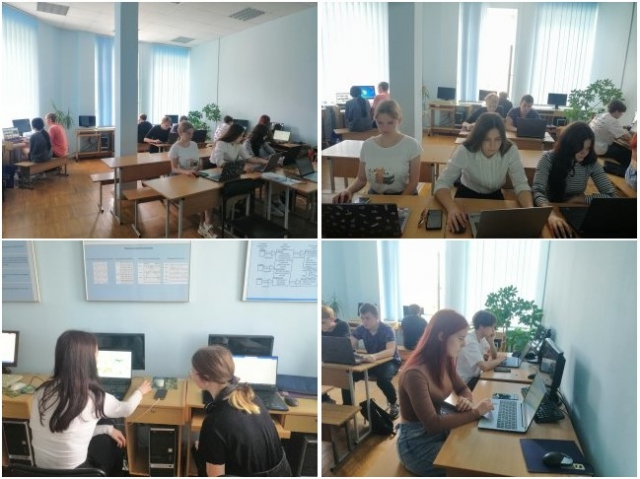
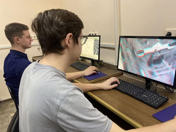

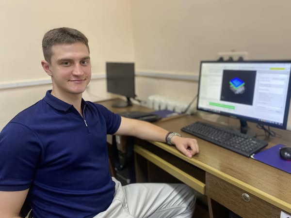
The training laboratory has workplaces for laboratory work and independent work, which are equipped with modern equipment and meet the requirements of occupational safety.
The laboratory provides training in the disciplines "Geoinformatics, Computer Science and Programming", "Geoinformation Technologies" for students of the specialty G18 Geodesy and Land Management.
Head of the training and scientific laboratory: Kravchuk Anastasia.
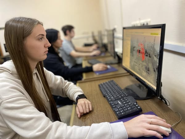
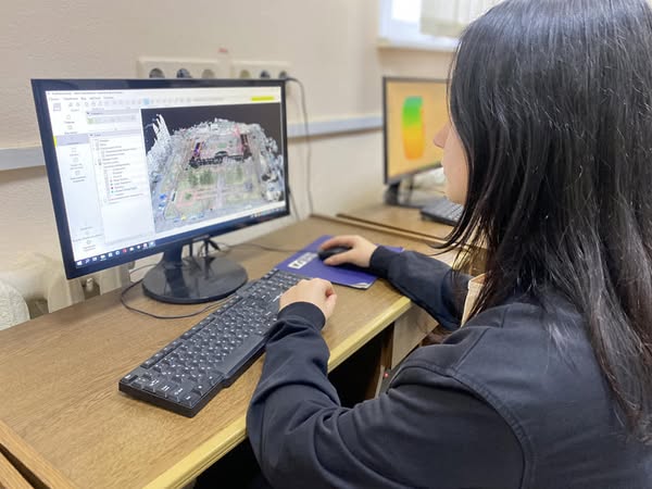
Educational, scientific and production laboratory of geoinformation technologies and remote sensing
The laboratory aims to unite the efforts of scientific, pedagogical and scientific workers of the department, scientific and technical personnel, doctoral candidates, postgraduate students, students to transfer scientific developments from priority areas of geoinformatics and remote sensing of the Earth to agricultural production, various types of activities in the field of land management, environmental management; to conduct joint scientific and production activities with agricultural enterprises; to use the capabilities of the laboratory to improve the level of practical training of students and improve the skills of scientific and pedagogical workers in the use of geospatial data; to improve the training of specialists in geodesy and land management, agronomy, forestry, computer science.


The main areas of activity of the ESPL are the implementation of scientific developments and advanced achievements of scientific and technological progress in the field of GIS technologies, geoinformation analysis and modeling, remote sensing methods of the Earth in agricultural production, various types of activities in the field of land management and environmental management; provision of scientific consulting, advisory and other services.
The laboratory provides:
- conducting scientific research on aerospace monitoring of agricultural resources; geoinformation modeling of the state of agricultural systems;
- developing geospatial databases for the purpose of assessing and monitoring the environment;
- providing proposals for the preparation of regulatory documents and state standards for the use of computer and GIS technologies in the agricultural sector;
- developing and scientific support for complex controlled agricultural technologies, their transfer to agro-industrial production;
- conducting joint scientific and production activities with enterprises of various forms of ownership on monitoring agricultural resources and land resources, optimizing environmental management and other activities.
The laboratory conducts educational and educational-consultative courses:
Specialized course on the use of geospatial technologies in agronomy, agrochemical service and precision agricultural production;
Course on geoinformation technologies, remote sensing of the Earth and geospatial data processing technologies;
Course on in-depth study of specialized software.